
Sheet 15, Old Series 1". Dorset/Wiltshire,1856. Hand-coloured engraving
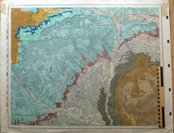
Sheet 15, Old Series 1". Dorset / Wiltshire: Blandford, Salisbury, Ringwood. 1856, topography 1811, railways inserted 1888, issued 1907. Hand-coloured engraving, flat, 67.5 x 85cm, linen-backed, right margin punched for hanging. Minor marginal tears, before backing, and crumpling to top and bottom margins. Old masking tape dry residue in NW and NE margins. Pinholes in all margin corners. Faint library stamp in NE margin. Clean and in good condition.
About the England & Wales One Inch Old Series
The Geological Survey of England and Wales used the Old Series of the Ordnance Survey topographic map at a scale of one inch to the mile as its basemap, initially. These engraved basemaps were published and revised between 1805 and 1885; the sheet sizes varied and the layout and numbering system were eccentric. The Old Series geological maps were hand-coloured and without geological sections, which were published separately. The GS of E&W published the Old Series from 1850 to 1900, when it switched to the colour printing and the New Series one inch maps. However, old stock of the Old Series continued to be issued, hand-coloured, until the 1930s.
See also: Index Map for England & Wales One Inch Old Series.