Free UK postage
Lancashire, 1870, 6". Engraved colour wash. Geological Survey of England & Wales.
Engraved, colour wash.N½ blank as Yorks, 27.5 x 40 - Fair. Flat cartridge. Marginal tears neatly repaired.
Regular price £4900 £49.00
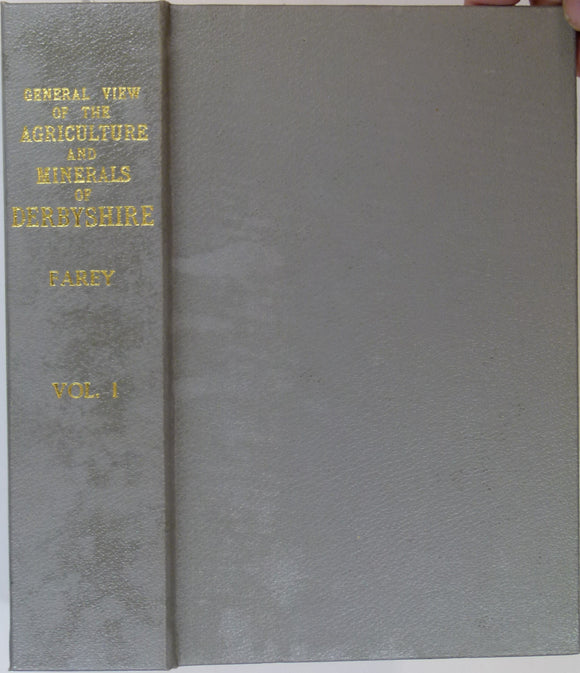
Farey, John (1811). General View of the Agriculture and Minerals of Derbyshire, vol 1. 1989 REPRODUCTION. Peak District Mines Hist. Soc..
Farey, John (1811). General View of the Agriculture and Minerals of Derbyshire, vol 1. 1989 REPRODUCTION with foreword by Trevor Ford and Hugh Torrens. Sheffield: Peak District Mines Historical Society...
Regular price £4500 £45.00
Yorkshire, Sheet 95 6", 1878. Yorks, Gristhorpe, SE of Scarborough, 28 x 40 - Engraved, Colour wash, NE ½ is sea., Fair. Geological Survey of England & Wales.
Yorkshire, Sheet 95 6", 1878. Yorks, Gristhorpe, SE of Scarborough, 28 x 40 - Engraved, Colour wash NE ½ is sea. Fair. Flat cartridge. West margin trimmed. Ink blot.
Regular price £4400 £44.00
Lancashire, 1871, 6". Engraved colour wash. Geological Survey of England & Wales.
Engraved, colour wash, East ½ blank as Yorks, 27.5 x 40 - Fair. Flat cartridge. Marginal tears neatly repaired.
Engraved, colour wash.E¾ blank as Yorkshire, 27.5 x 40 - Fair. Flat cartridge. Marginal tears neatly repaired.
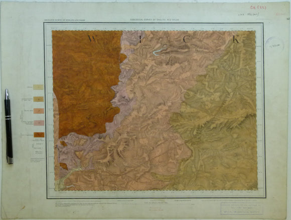
Yorkshire, Sheet 101W½ 6", 1901. Yorks, Grewelthorpe, 28 x 22 - Colour wash on top map, Two sheets joined., Very good. Geological Survey of England & Wales.
Yorkshire, Sheet 101W½ 6", 1901. Yorks, Grewelthorpe, 28 x 22 - Colour wash on top map Two sheets joined. Very good. Flat cartridge on linen. Good graphic.
Regular price £3900 £39.00
Yorkshire, Sheet 101E½ 6", 1900. Yorks, Grewelthorp, Kirkby Malzeard,, 28 x 22 - Colour wash on topographical map, Two sheets joined.…. Geological Survey of England & Wales.
Yorkshire, Sheet 101E½ 6", 1900. Yorks, Grewelthorp, Kirkby Malzeard, 28 x 22 - Colour wash on topographical map Two sheets joined. Very good. Flat cart2ridge on linen. Good graphic.
Yorkshire, Sheet 85E½ 6", 1900 rev. Yorks, Masham, 28 x 22 - Colour wash on topographical map, 2 sheets joined, complete key, Very good.…. Geological Survey of England & Wales.
Yorkshire, Sheet 85E½ 6", 1900 rev. Yorks, Masham, 28 x 22 - Colour wash on topographical map 2 sheets joined, complete key, Very good. Flat cartridge on linen.
Yorkshire, Sheet 85W½ 6", 1900 rev. Yorks, Jervaulx, 28 x 22 - Colour wash on topographical map, 2 sheets joined, complete key, Very good.…. Geological Survey of England & Wales.
Yorkshire, Sheet 85W½ 6", 1900 rev. Yorks, Jervaulx, 28 x 22 - Colour wash on topographical map 2 sheets joined, complete key, Very good. Flat cartridge on linen.
London Sheet 4se 6", Kensington. Geological Survey of England & Wales.
London Sheet 4se 6", Kensington. VG
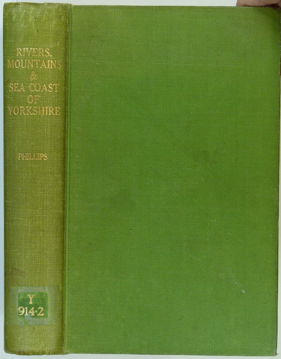
Phillips, John (1853). The Rivers, Mountains and Sea-Coast of Yorkshire with Essays on the Climate, Scenery, and Ancient Inhabitants of the County. London: John Murray, 302pp,. John Murray.
Phillips, John (1853). The Rivers, Mountains and Sea-Coast of Yorkshire with Essays on the Climate, Scenery, and Ancient Inhabitants of the County. London: John Murray, 302pp, 36 lithographed plates +...
Regular price £3500 £35.00
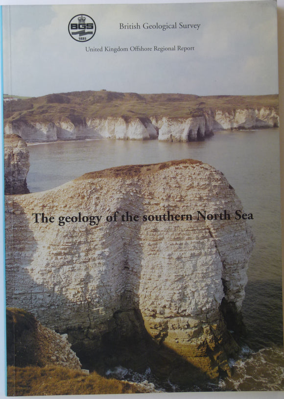
Memoir - Offshore. (1992). Cameron, TDJ, et al. UK Offshore Regional Report; The Geology of the Southern North Sea. 153pp. Paperback. British Geological Survey.
Memoir - Offshore. (1992). Cameron, TDJ, et al. UK Offshore Regional Report; The Geology of the Southern North Sea. 153pp. Paperback, A4 report, clean, negligible wear. One of twelve reports...
Yorkshire, Sheet 95E½ 6", 1900, rev. Yorks, Masham, 28 x 22 - Colour wash on topographical map.No geol key but official cols., Good. Geological Survey of England & Wales.
Yorkshire, Sheet 95E½ 6", 1900, rev. Yorks, Masham, 28 x 22 - Colour wash on topographical map.No geol key but official cols. Good. Flat cartridge on linen.
Regular price £3400 £34.00
London Sheet 6nw 6", Stratford. Geological Survey of England & Wales.
London Sheet 6nw 6", Stratford. VG (2012 Olympic site)
London Sheet 2sw 6", Islington. Geological Survey of England & Wales.
London Sheet 2sw 6", Islington. VG
Lancashire, 1869, 6". Engraved colour wash. Geological Survey of England & Wales.
Engraved, colour wash, Reservoirs added by hand. East 80% blank as Yorks, 27.5 x 40 - Good. Flat cartridge. Marginal tears neatly repaired.
Yorkshire, Sheet 95W½ 6", 1900 rev. Yorks, High Ellington, 28 x 22 - Colour wash on topographical map.No geol key but official cols. Geological Survey of England & Wales.
Yorkshire, Sheet 95W½ 6", 1900 rev. Yorks, High Ellington, 28 x 22 - Colour wash on topographical map.No geol key but official cols.
Regular price £3200 £32.00
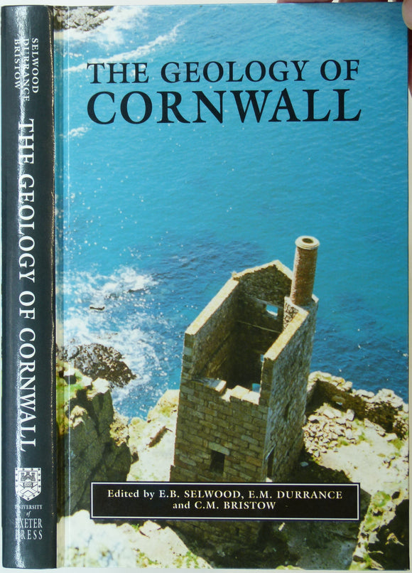
Selwood, E.B. et al (eds), 1998. The Geology of Cornwall and the Isles of Scilly. U. of Exeter Press. 298pp. university of exeter.
Selwood, E.B. et al (eds), 1998. The Geology of Cornwall and the Isles of Scilly. University of Exeter Press. 298pp + xxi preface and 10 colour plates. First edition. ISBN...
Regular price £3000 £30.00
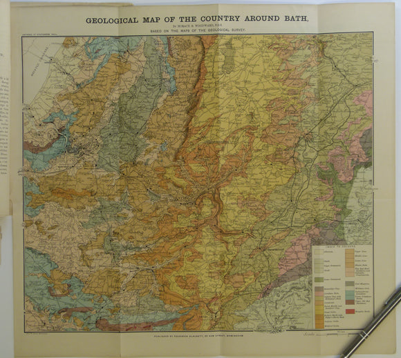
Bath. Geological Map of the Country Around Bath (c.1900.). Horace B Woodward. Folded, colour printed map 42 x 46cm, 1” = 2 miles,. Geologists' Association.
Bath. Geological Map of the Country Around Bath (c.1900.). Horace B Woodward. Folded, colour printed map 42 x 46cm, 1” = 2 miles, tipped into accompanying extract ‘La Géologie des...
Regular price £2900 £29.00
Sheet 53nw, Old Series 1".1867.Warwickshire: Warwick, Coventry. Hand coloured engraving. Geological Survey of England & Wales.
Sheet 53nw, Old Series 1".1867.Warwickshire: Warwick in SW, Coventry in NW. Hand coloured engraving, 40 x 52cm. Flat, linen-backed, age-toned, slightly soiled, slightly faded, trimmed, library stamps, pinhole in each...